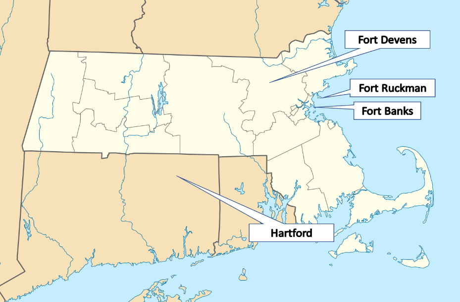
Maps of Interest
This should be a rather short post since tomorrow is the big day - Dear Audrey: WWII kicks off. First letter will post on April 2nd. In the meantime, this map highlights the approximate location of the places referred to in the letters:
WWII
The United States is officially at war, and so one more time - for the record:
President Roosevelt immediately addressed a joint session of congress on December 8, 1941 for authorization to declare war after we were attacked on December 7th when the the Empire of Japan bombed Pearl Harbor.
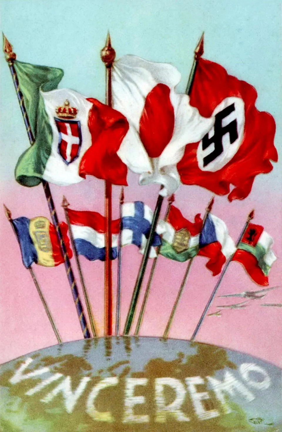
Apparently, Hitler did not know that Japan was going to bomb Pearl Harbor but was ok with it because he considered the United States with their sanctions and help for the allies annoying. Japan was merely trying to expand and conquer the Pacific, Nazi Germany just wanted to own Europe and the Kingdom of Italy only wanted to take the Middle East and Africa. United in their far-right ideologies, they were the axis of powers. Meanwhile, United States joined the "allies" - you know, the good guys.
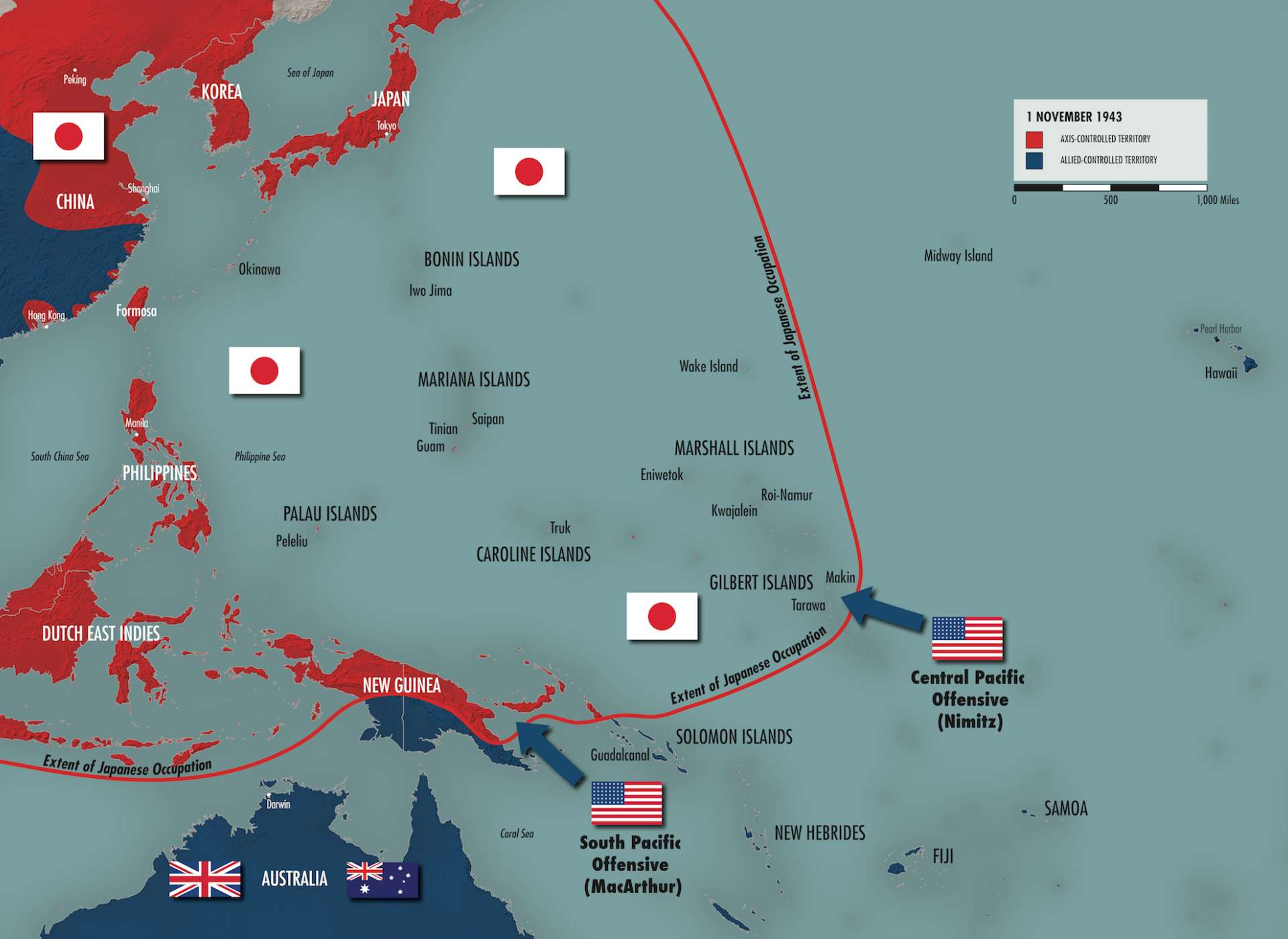
The Pacific Strategy, 1941-1944
This map is from the National WWII Museum. General Douglas MacArthur is the as Supreme Commander for the Allied Powers overseeing the occupation of Japan. While this map is focused on the east, folks on the west coast of the United States are alert and preparing. Double -click to enlarge images:
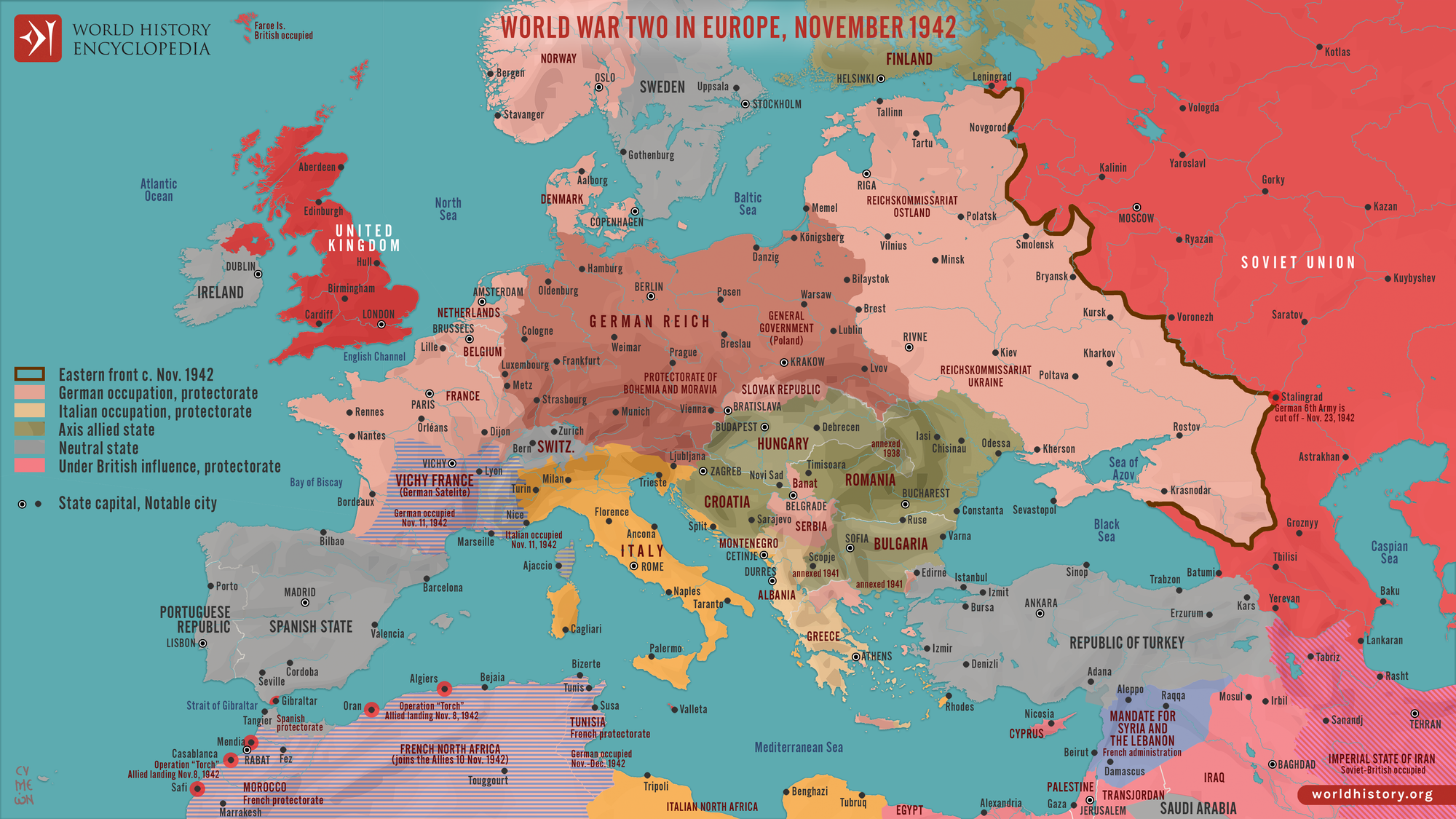
World War II in Europe, November 1942
This map comes from the World History Encyclopedia. General George Patton commanded the Seventh Army in the Mediterranean Theater of World War II, then the Third Army in France and Germany after the Allied invasion of Normandy in June 1944.
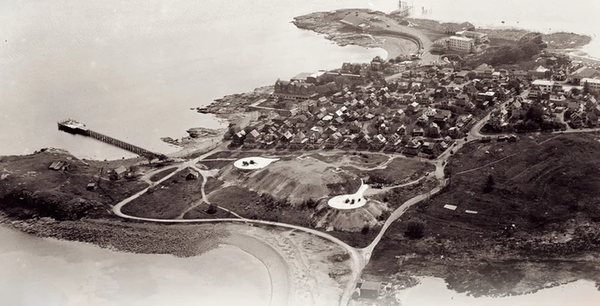
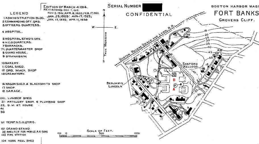
Fort Banks
This will be the first base Dad is sent to. Located in Winthrop, Massachusetts it's right next to Boston. It is part of Harbor Defense for Boston so giant guns pointed at the ocean and soldiers patrolling the beaches. This is an older map but usable for 1942.
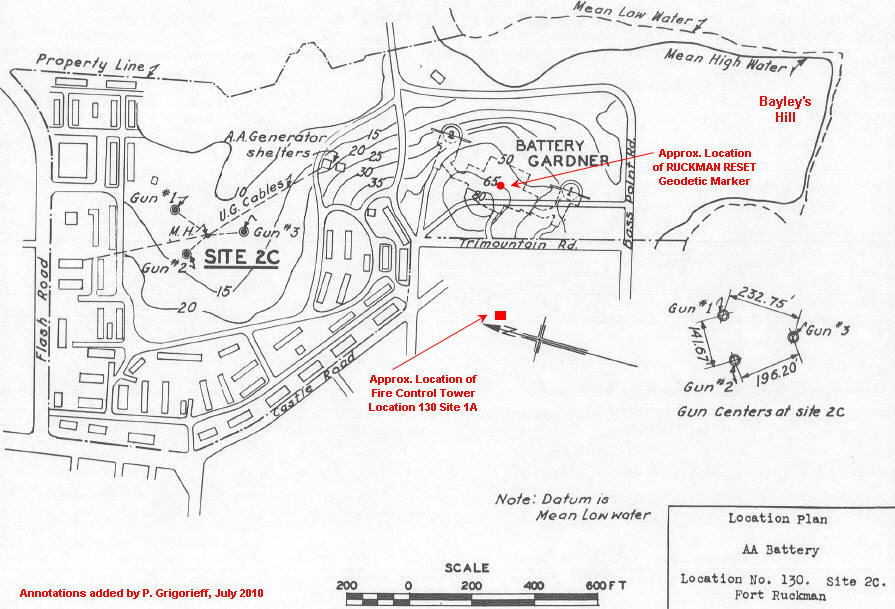
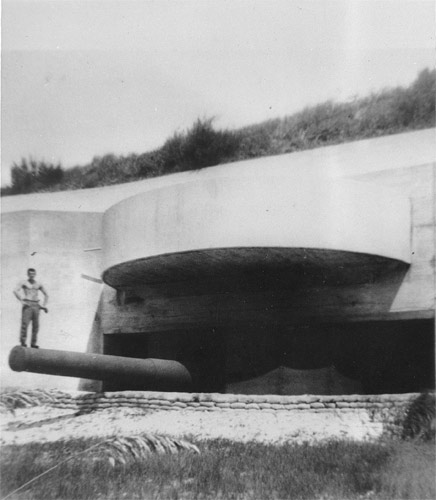
Fort Ruckman
This map probably made a lot of sense back in 1942. Fort Ruckman is in Nahant, Massachusetts. It too was part of Harbor Defense for Boston. There were more giant guns pointed toward the ocean and soldiers like my Dad patrolling the beaches.
I can't wait till tomorrow - Let's do this thing!
Comments welcome :)